
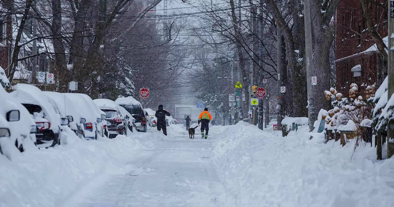
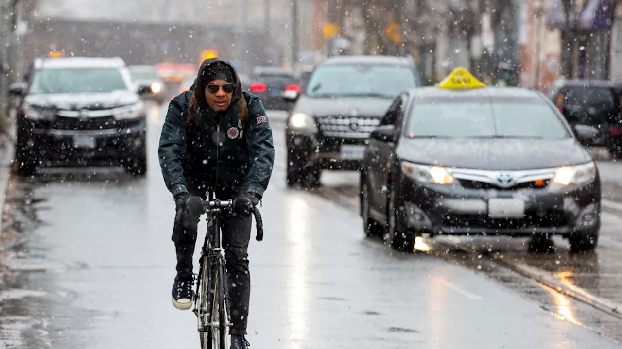
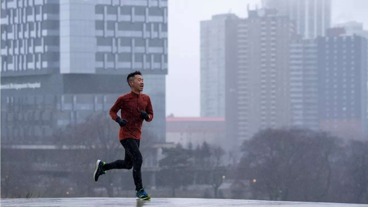
Toronto is experiencing a prolonged period of sub-zero temperatures, potentially the longest in several years. The Weather Network forecasts this cold snap to be the most significant in at least three years, driven by a polar vortex and frequent Arctic air intrusions. The city is expected to see temperatures as low as -24C with wind chills, making it a frigid start to 2025.
broken over the past few seasons in Toronto feel like a thing of the distant past during this first week of 2025, with temperatures taking a nosedive for what may prove to be the longest stint of sub-zero weather in multiple years.
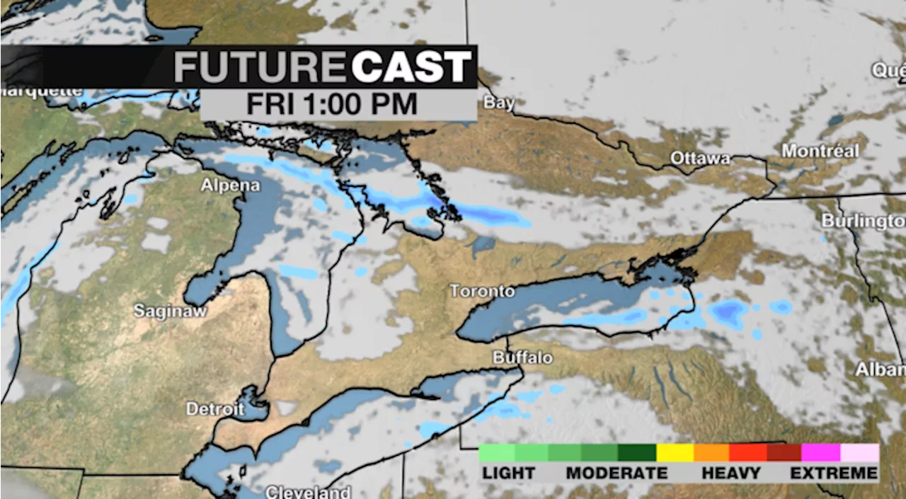
across the country this year, and it seems off to a decent start in Ontario, walloping areas from just north of GTA to cottage country with While Toronto hasn't seen too much in terms of accumulation, the city is in the midst of a deep freeze that The Weather Network forecasts to be the biggest in at least three years if the current patterns, which include a wind chill in the minus double digits, persists. 'The focus of the coldest weather in the country has quickly shifted into Central Canada from the eastern Prairies. In fact, the second week of January will beacross the Great Lakes region, with the much colder-than-normal weather even extending all the way to Florida,' the agency wrote 'For Toronto's Pearson International Airport, we are looking at the possibility of its longest stretch of below-freezing temperatures in at least three years, perhaps more.' With cold air settled firmly in southern Ontario, we are looking at the possibility of Toronto seeing its longest stretch of below-freezing temperatures in at least three years, perhaps more. calls for temperatures to feel as brutal as -24 C downtown on Wednesday with a chance of light snow, though thermometers will hover around a warmer (but still not enjoyable) -9 C.-2 C by the week's end, but it will still feel colder: around -8 C Friday, -11 C Friday night, -5 C on Saturday and -10 C on Saturday night. These conditions are thanks to a polar vortex that has partially settled over Hudson Bay, bringing with it 'frequent shots of Arctic air and an abundance of lake-effect snow for parts of the Great Lakes region,' says TWN, leading to the longest spell of consecutive days below zero since January 202
Cold Snap Polar Vortex Toronto Sub-Zero Temperatures Weather Forecast
Canada Latest News, Canada Headlines
Similar News:You can also read news stories similar to this one that we have collected from other news sources.
 Toronto Warms Up to Cold SnapToronto will open four warming centres as the city braces for a cold snap this weekend.
Read more »
 Toronto Braces for Winter Weather: Snow Expected Before ChristmasToronto residents may finally see their first snowfall of the season as a winter weather system approaches, bringing with it a chance for snow and colder temperatures.
Read more »
 Toronto Braces for Snow and Chillier TemperaturesEnvironment Canada predicts periods of snow, starting Wednesday morning, with an accumulation of around two centimeters. Temperatures will drop to -3°C Wednesday night, feeling closer to -8°C with wind chill. Thursday night and Friday morning will see more flurries and potentially wet snow. The weekend will be colder with a high of -8°C on Saturday, but warmer temperatures are expected by Christmas Eve.
Read more »
 Toronto Braces for Heavy Rainfall, Fog, and Unseasonably Warm TemperaturesEnvironment Canada has issued a rainfall warning for the Greater Toronto Area, predicting 20 to 40 millimeters of rain that could lead to localized flooding. The rain is expected to begin Sunday morning and last through Sunday night. The unseasonably warm temperatures, reaching a high of 12 C on Sunday, are also contributing to the potential for flooding as frozen ground struggles to absorb the water. Toronto's New Year's Eve and New Year's Day forecasts include a mix of clouds, rain, and flurries.
Read more »
 Toronto Braces for More Construction Headaches in 2025Major construction projects slated for 2025 are expected to exacerbate traffic woes in Toronto, with numerous road closures, lane reductions, and diversions anticipated.
Read more »
 Toronto Braces for Another Year of Major Construction in 2025Toronto residents can expect more traffic headaches in 2025 as the city continues to undertake a massive amount of road and infrastructure work.
Read more »