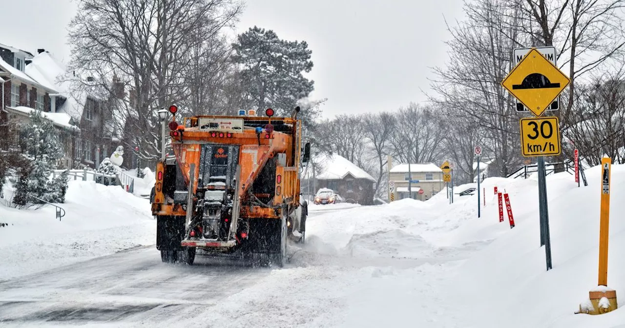
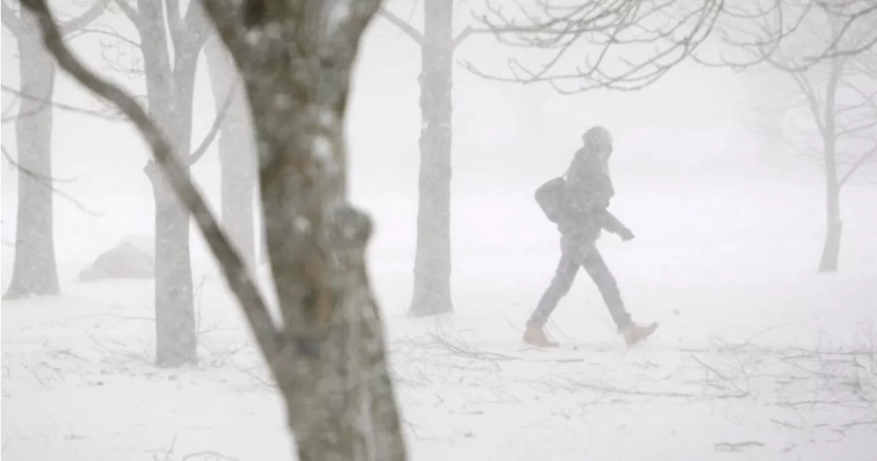
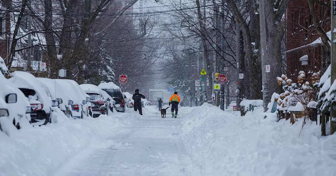
Parts of Ontario are expecting a massive snowfall by the weekend, with snow squall warnings issued for regions north, northwest, and east of the GTA. Up to 60cm of snow is possible, accompanied by strong winds and reduced visibility, making travel hazardous.
Parts of Ontario are bracing for an enormous dumping of snow that could total up to, or potentially in excess of, 60 centimeters by this weekend. A large swath of the province is under snow squall warnings as of Thursday morning, forecasting some particularly nasty conditions that could blanket areas to the north, northwest and east of the GTA with over half a metre of snow on Thursday and Friday.
Environment and Climate Change Canada (ECCC) has issued several snow squall warnings for areas stretching up from the northern GTA to Georgian Bay and Lake Huron, and east to Belleville.Lake effect snow will slam into the region Thursday and linger into Friday morning, accompanied by northwest winds that could gust up to 60 km/h and make for some dangerous conditions on roads due to blowing snow. The government weather agency warns that areas could see hazards including 'locally heavy snowfall with accumulations up to 60 cm,' as well as 'poor visibility at times in heavy snow and blowing snow.''Rapidly accumulating snow will make travel difficult. Surfaces such as highways, roads, walkways and parking lots may become difficult to navigate due to accumulating snow. Road closures are possible,' it adds. The authority thus advises motorists to 'consider postponing non-essential travel until conditions improve.' ❄️Snow squalls will continue to affect regions southeast of Lake Huron, Superior and Georgian Bay into Friday.Other areas of the GTA may not see conditions as severe as areas to the north and east, but some pockets of the region, like Oakville, are expected to receive total accumulations of 5 to 10 cm
SNOW ONTARIO WEATHER WARNINGS TRAVEL
Canada Latest News, Canada Headlines
Similar News:You can also read news stories similar to this one that we have collected from other news sources.
 ‘Near blizzard conditions’: Ontario braces for more lake-effect snow squallsOntarians seeking reprieve from a weekend blast of wintry weather will have to wait as another system is threatening “near blizzard conditions” for some parts.
Read more »
 Blizzard, snow squall warnings in effect for parts of Ontario with 80 cm of snow possibleA blizzard warning is in effect for areas in the Grey and Bruce counties due to hazardous lake effect snow squalls that could bring up to 80 centimetres of snow.
Read more »
 Toronto Braces for Winter Weather: Snow Expected Before ChristmasToronto residents may finally see their first snowfall of the season as a winter weather system approaches, bringing with it a chance for snow and colder temperatures.
Read more »
 Alberta Braces for Christmas Storm with 10-15 cm of SnowA storm system moving in from British Columbia is expected to dump 10 to 15 cm of snow overnight across Alberta. The moisture-laden frontal system will bring snow starting Wednesday night. Environment Canada has issued extreme cold warnings as temperatures are expected to plummet, with wind chill values reaching -40 in some areas.
Read more »
 Toronto Braces for Snow and Chillier TemperaturesEnvironment Canada predicts periods of snow, starting Wednesday morning, with an accumulation of around two centimeters. Temperatures will drop to -3°C Wednesday night, feeling closer to -8°C with wind chill. Thursday night and Friday morning will see more flurries and potentially wet snow. The weekend will be colder with a high of -8°C on Saturday, but warmer temperatures are expected by Christmas Eve.
Read more »
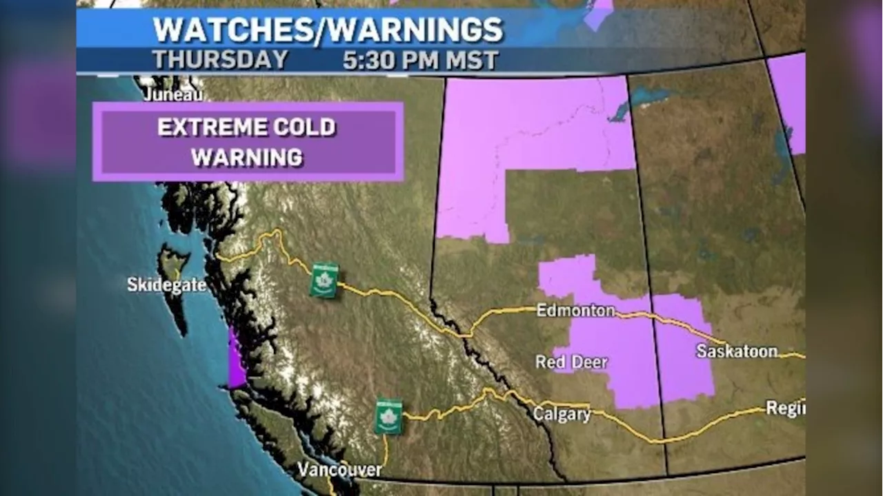 Calgary Braces for Chilly Spell with Light Snow ExpectedCalgary experiences a notable cold snap with temperatures dipping below -15 C. An Extreme Cold Warning is in effect for other parts of Alberta, but Calgary is expected to see some relief by early next week. Light snow is also anticipated to start falling late Friday.
Read more »