Ontario is set to experience a significant cold snap with a polar vortex hitting next week, bringing the coldest temperatures of the season. While the province is not expecting major snowfalls, the Great Lakes region is predicted to see an abundance of lake-effect snow. Following the cold snap, a warm-up is expected in the second half of January, potentially bringing squalls and messy commutes to areas outside the traditional snowbelt.
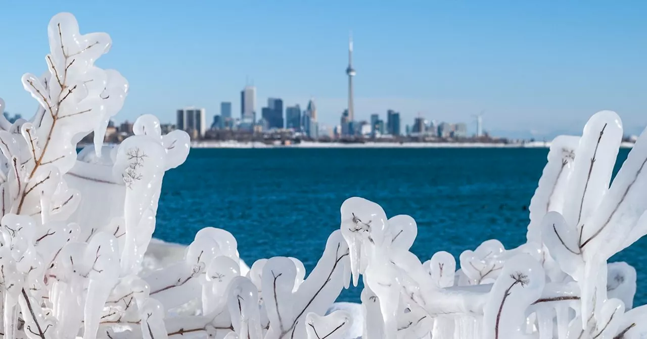
Though the little wintry accumulation that Toronto received over the holidays has all but melted away, other parts of Ontario are presently being buried in snow to kick off the New Year — and it looks like the city won't be as immune to the realities of winter in the coming weeks as it was during our relatively mild December.
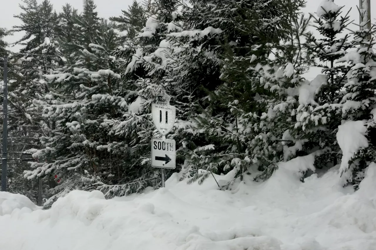
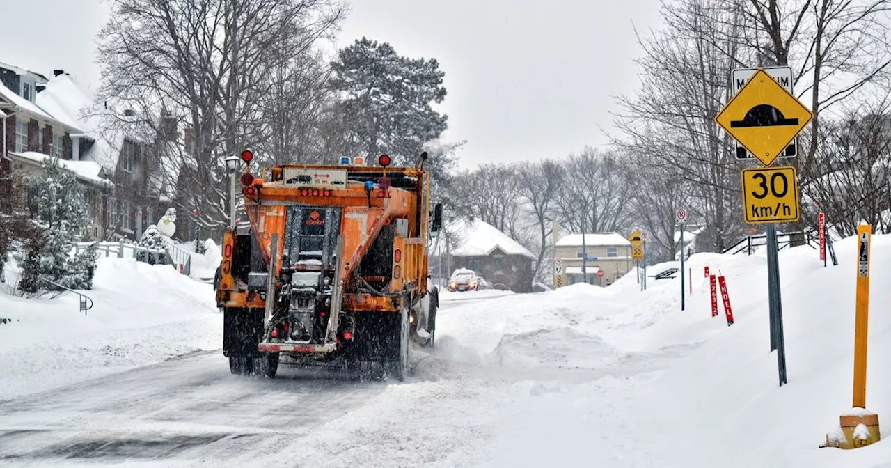
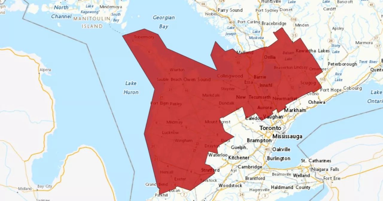
As below-zero temperatures and bitter wind chill settle in amid scattered flurries during these first few days of 2025, forecasts are calling for thermometers across the province to plummet even further, hitting below seasonal levels as we push on into January. The centre swath of the country is about to experience a polar vortex that will peak next week, which will be the coldest one of the season. While this deep freeze will extend from western Manitoba to eastern Quebec, it is not expected to bring many winter storms — that is, with the exception of the Great Lakes Region. TWN's outlook from Friday anticipates 'frequent shots of Arctic air will produce an abundance of lake-effect snow for parts of the Great Lakes region' thanks to a chunk of the polar vortex being centred over the Hudson Bay area. But, the agency adds that the worst of the weather will likely hit stateside thanks to jetstreams, with 'primarily clippers and cold fronts bringing relatively minor amounts of snow' on Ontario's end. Counterintuitively enough, it's actually the warm-up that will follow in the second half of the month that could potentially bring squalls and messy commutes to the non-snowbelt locales in the province. As the cold recedes in the latter weeks of January, Southern Ontario will return back to near seasonal temps, flipping the script on B.C., which will get far colder after enjoying a milder start to the month. 'However, keep in mind that late January is the coldest time of the year for most of Canada, so it is possible to see high-impact winter storms with above-seasonal temperatures.
Ontario Polar Vortex Lake-Effect Snow Winter Weather Cold Snap
Canada Latest News, Canada Headlines
Similar News:You can also read news stories similar to this one that we have collected from other news sources.
 Arctic Blast to Bring Snow Squalls and Freezing Temperatures to Great Lakes RegionA frigid air mass moving from the Arctic will bring snow squalls and below-freezing temperatures to the Great Lakes region this weekend. The cold air will persist into early next week, with daytime highs expected to drop below -10 C.
Read more »
 Sea Lamprey Populations Surge in Great Lakes After Pandemic DisruptionsThe Great Lakes Fishery Commission reports that sea lamprey populations, a highly noxious invasive species, have exceeded target levels in all five Great Lakes. Reduced control efforts during the COVID-19 pandemic led to a surge in these parasitic fish, which can kill large numbers of native fish.
Read more »
 How the warming Great Lakes could herald a new era of supercharged snowstormsAreas off the Great Lakes are used to big snowfall events, earning the title of Ontario’s snowbelt. Yet something new is happening
Read more »
 Ontario Braces for Up to 60cm of SnowParts of Ontario are expecting a massive snowfall by the weekend, with snow squall warnings issued for regions north, northwest, and east of the GTA. Up to 60cm of snow is possible, accompanied by strong winds and reduced visibility, making travel hazardous.
Read more »
 Southern Ontario Braces for More Snow, Closures and Travel AdvisoriesEnvironment Canada warns of additional 5 to 15 centimeters of snow in southern Ontario, urging caution against travel due to poor visibility and hazardous conditions. Snow squalls are expected to persist until Sunday morning, with areas near Lake Huron and Georgian Bay experiencing the heaviest snowfall. The Ontario Provincial Police have reported several collisions on Saturday as snow accumulation reached up to 40 centimeters.
Read more »
 New Ontario Science Centre at Ontario Place to open in 2029, auditor general saysThe timeline for opening a permanent new Ontario Science Centre appears to have been delayed, with infrastructure officials telling the auditor general's office the centre is expected to be up and running in 2029.
Read more »