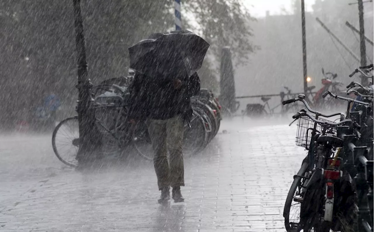
A shift in weather patterns will bring warmer temperatures and moisture to Metro Vancouver this weekend, ending a period of unseasonably cold conditions. Environment Canada meteorologist Alyssa Charbonneau predicts that a low-pressure system will bring light to moderate rainfall starting Saturday morning and continuing through the weekend.
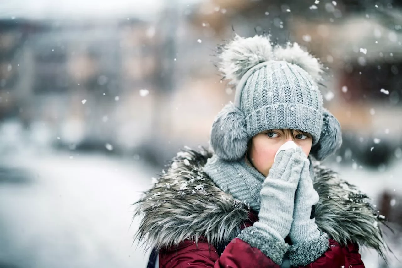
A low-pressure system is set to bring a noticeable change in weather to Metro Vancouver , ushering in warmer temperatures and moisture over the weekend. Environment Canada meteorologist Alyssa Charbonneau tells V.I.A. that a 'pretty big shift' is on the horizon as the persistent cold Arctic air mass weakens. For weeks, a ridge of high pressure has kept the Arctic air in place, resulting in temperatures dropping as much as -10 C below seasonal averages.
Some areas even experienced wind chills as low as -20 C. Charbonneau explains that 'some cloud will come in overnight and into Friday,' marking the beginning of the Arctic air's retreat. Friday's forecast predicts dry conditions, but a low-pressure system is expected to bring precipitation starting Saturday morning and continuing through the weekend. 'Right now the timing is looking like potentially early morning but it could be delayed,' Charbonneau explains. 'Initially, it's still that cool air mass and then it is warming up slightly. With the snow levels a bit lower, we could get a little bit of snow first in the morning.'The Metro Vancouver weather forecast includes the possibility of flurries in the morning, transitioning to rain by Saturday evening. The daytime high is expected to reach 6 C, a significant departure from the week's frigid temperatures. The overnight low is only anticipated to dip to 4 C. Charbonneau adds that the storm system is not 'particularly heavy,' with light to moderate rainfall amounts totaling 10 to 20 mm over 24 hours. 'Over the mountains, we may see more but it is not a big juicy storm,' she adds. 'However, It will be enough to dislodge that really entrenched Arctic air and open the door for more storms next week.' A shift in the flow pattern allows warmer air to move in from the Pacific. The ridge of high pressure previously deflected smaller, incoming storms but has weakened since the last major snow event. During the heavy snow starting on February 2nd, a low-pressure system collided with the Arctic air mass, leading to widespread snowfall. 'What tends to happen over time is the starts to moderate and take on the qualities of the region it is in,' she explains. Instead of another widespread snow event, locals may experience short periods of modest flurries as the low-pressure system replaces the frigid air mass. Temperatures are projected to return closer to seasonal averages and remain consistent through next week. Warmer-than-average temperatures are anticipated at the end of February, although forecast confidence diminishes after seven days. Stay informed about hyperlocal forecasts across 50 neighbourhoods in the Lower Mainland with V.I.A.'s Weatherhood
METRO VANCOUVER WEATHER RAIN WARM TEMPERATURES LOW PRESSURE SYSTEM ARCTIC AIR MASS
Canada Latest News, Canada Headlines
Similar News:You can also read news stories similar to this one that we have collected from other news sources.
 Vancouver mayor to boycott Metro Vancouver meetings over ‘broken’ governanceOn Wednesday, the mayor of the largest city in the region announced he would boycott Metro Vancouver meetings.
Read more »
 Metro Vancouver weather: Temperatures could feel as cold as -15 C soonThe Metro Vancouver weather forecast also includes up to 30 cm of snowfall.
Read more »
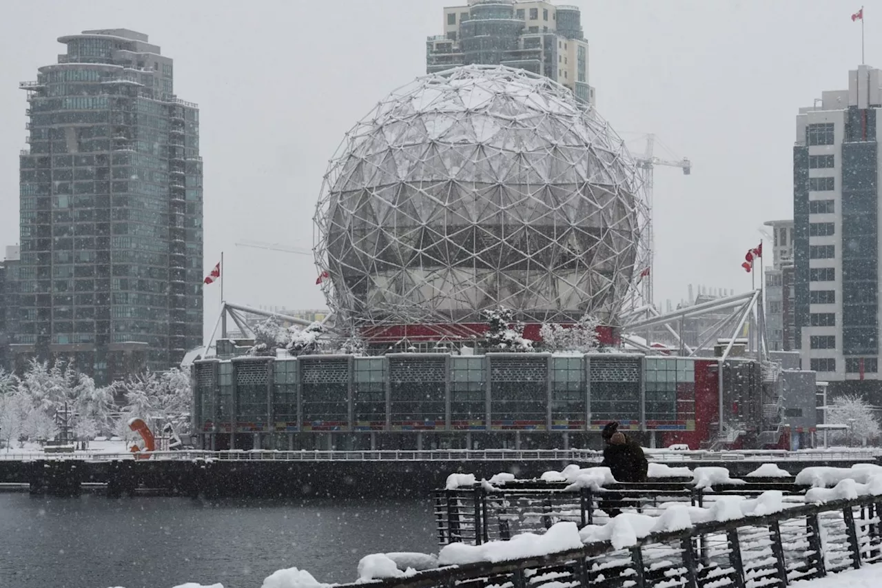
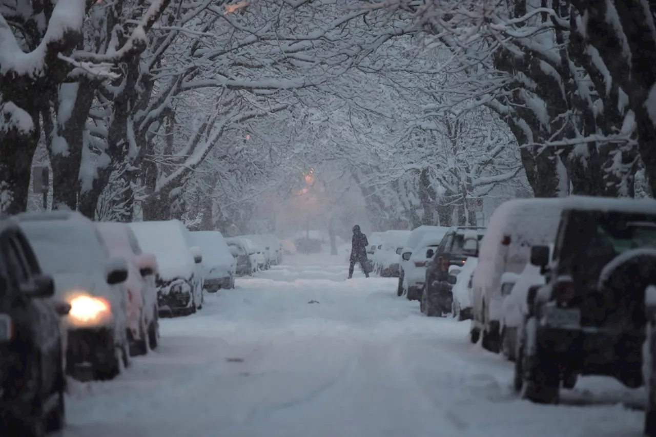
 Metro Vancouver Braces for Lingering Winter WeatherA wintry blast of snow in Metro Vancouver is expected to remain on the ground for at least the next week due to below-average temperatures. While temperatures may slightly moderate during the day over the weekend, any melting is likely to refreeze at night. This persistent cold has prompted school closures, university closures, and warnings from transportation authorities.
Read more »
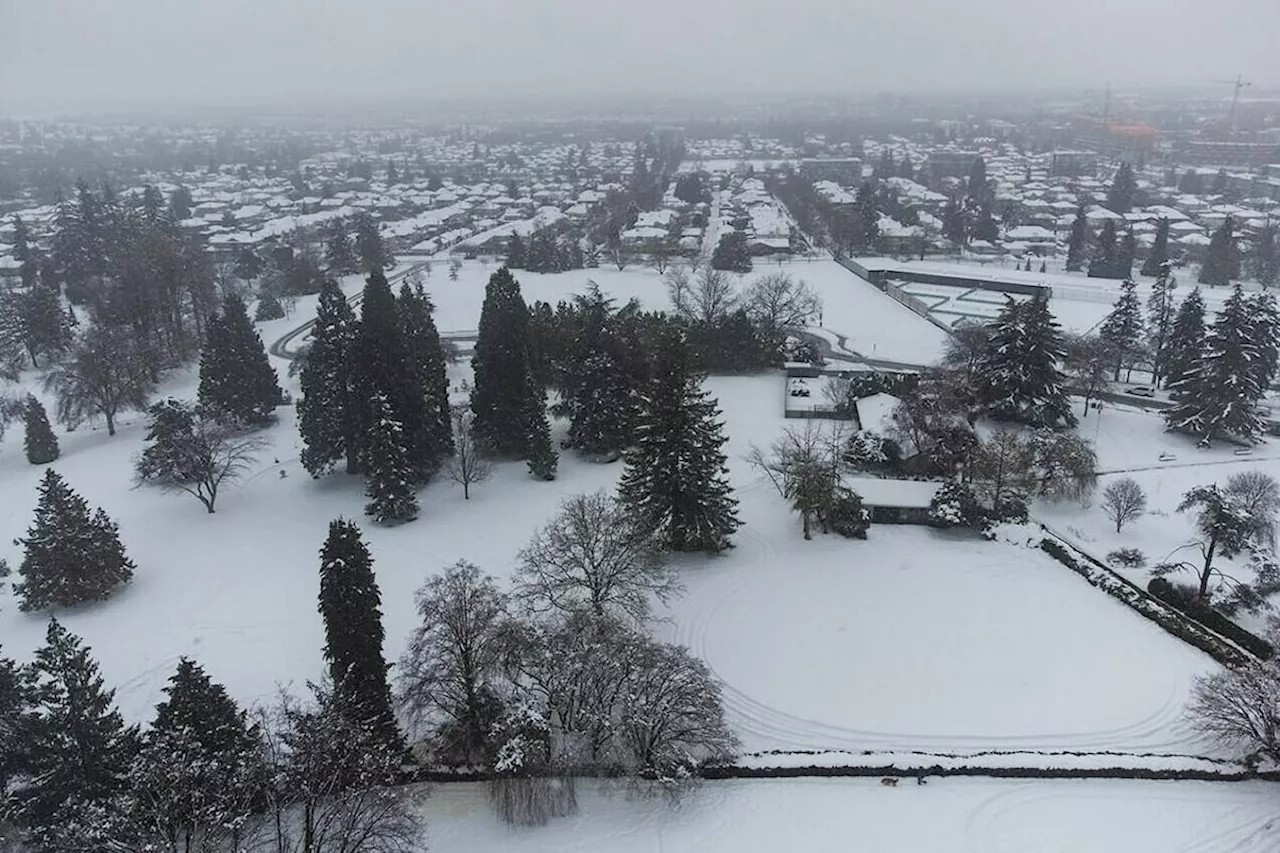
 Unseasonably Cold Weather Grips Metro Vancouver as Polar Vortex PersistsMetro Vancouver residents brace for a prolonged period of unseasonably cold weather as a powerful polar vortex continues to influence the region. The vortex, responsible for frigid Arctic outbreaks, has pushed temperatures well below average, creating ideal conditions for significant snowfall. While the cold snap is expected to last for at least another week, experts predict that it may persist for even longer.
Read more »
 Metro Vancouver weather: Multiple chances for snow, frigid temps in forecastFrosty would approve of this week's forecast.
Read more »
 Winter Weather Continues to Disrupt East Vancouver IslandEnvironment Canada has issued renewed snow warnings for east Vancouver Island, with areas from Courtenay to Campbell River and Duncan to Nanaimo expecting significant snowfall. Arctic outflow winds are fueling convective flurries, leading to sudden visibility reductions and hazardous road conditions. Emergency officials urge caution, recommending people stay home if possible.
Read more »