
After nearly 40 centimetres of snow fell on Vancouver Island on Tuesday, we're getting ready for another hit, says weather anchor CTVwdean
After nearly 40 centimetres of snow on Tuesday, we're getting ready for another hit. This time it’s afor most of Vancouver Island, while northern areas are dealing with a snowfall warning.Here’s the breakdown: Thursday afternoon and into the evening, a system is pushing in from the west.
As the system moves onto the island, temperatures will warm up and we’ll shift from snow to ice pellets and freezing rain. I expect that to happen around 3 a.m. or 4 a.m. and roll through most of the morning Friday.On Friday afternoon, as we continue to warm up to plus-side temperatures, we’ll transition into a wet snow and rain mix.
Moving into the weekend, we see the cold arctic air mass move off the island and we’ll see temperatures return to seasonal or better on Vancouver Island. Saturday and Sunday will bring heavy downpours at times. This will add flooding concerns to the equation.
Canada Latest News, Canada Headlines
Similar News:You can also read news stories similar to this one that we have collected from other news sources.
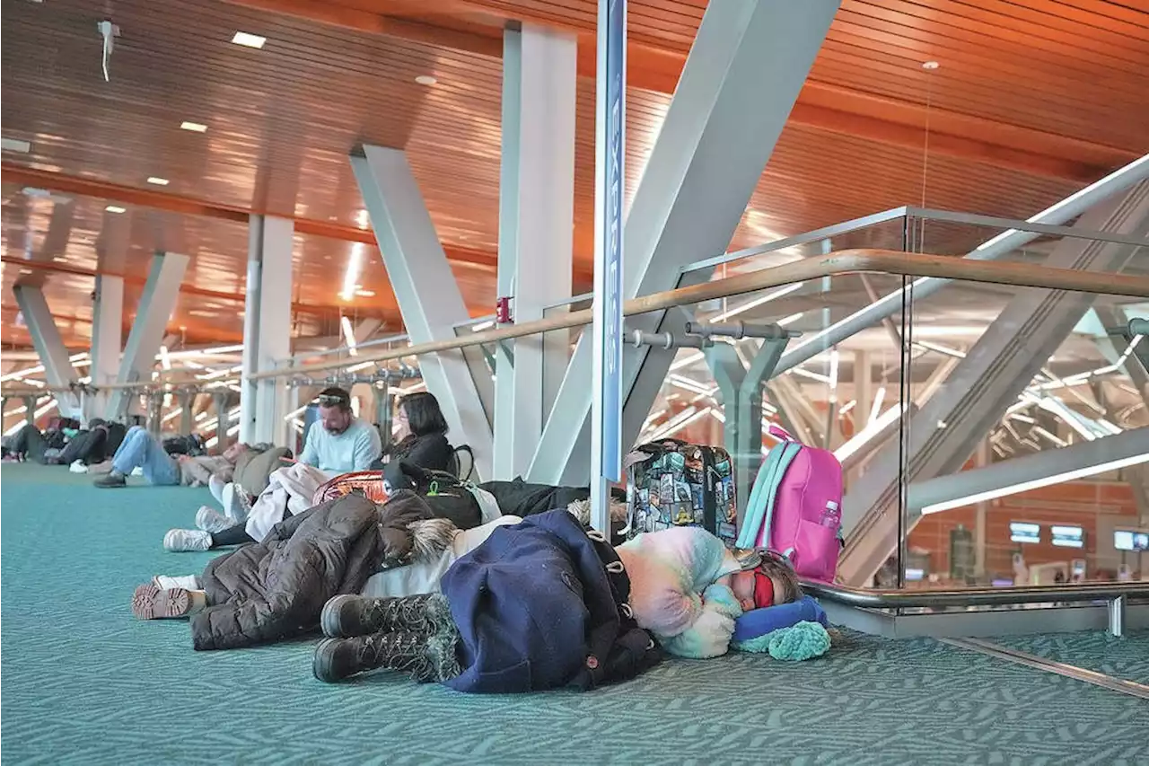 Southern B.C. snowstorm halts Tuesday flights at Vancouver airport, hundreds stranded
Read more »
 Vancouver Island digs out from snowstorm — and braces for more coldB.C. Transit says it is suspending service until at least 8 a.m. Wednesday because of ice- and snow-covered roads. No more snow is expected Wednesday in Greater Victoria but it'll be colder, with a high of –6 C during the day and a low around –10 C at night.
Read more »