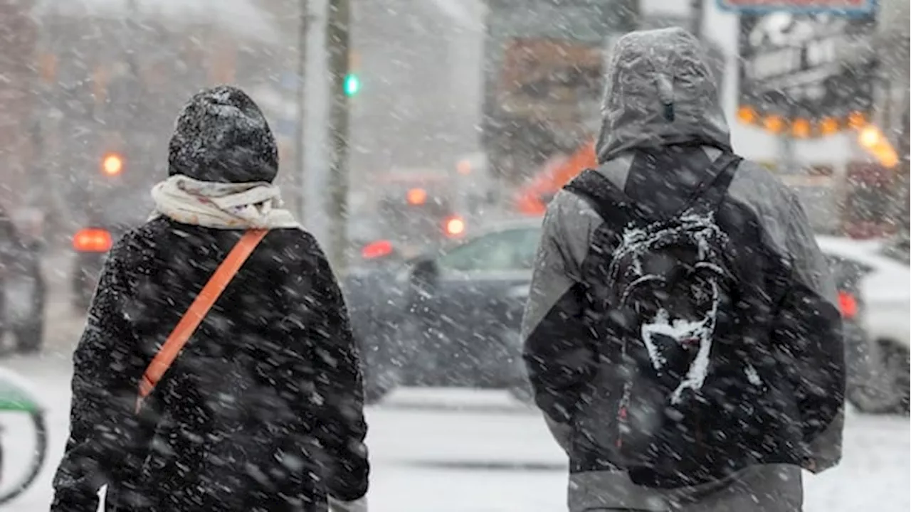
Rare thundersnow and significant snowfall blanketed parts of Southern Ontario as a sharp arctic cold front moved across the region. Meteorologists explained the phenomenon and provided details about the snowfall amounts.
While some Ontarians braced for the usual winter weather early Tuesday morning, others reported experiencing something rather unusual. Global News meteorologist Ross Hull confirmed the occurrence of rare thundersnow as a sharp arctic cold front swept across southern Ontario Monday night into Tuesday morning. Hull explained that the same mechanism responsible for thunder and lightning in summer thunderstorms along cold fronts was at play.
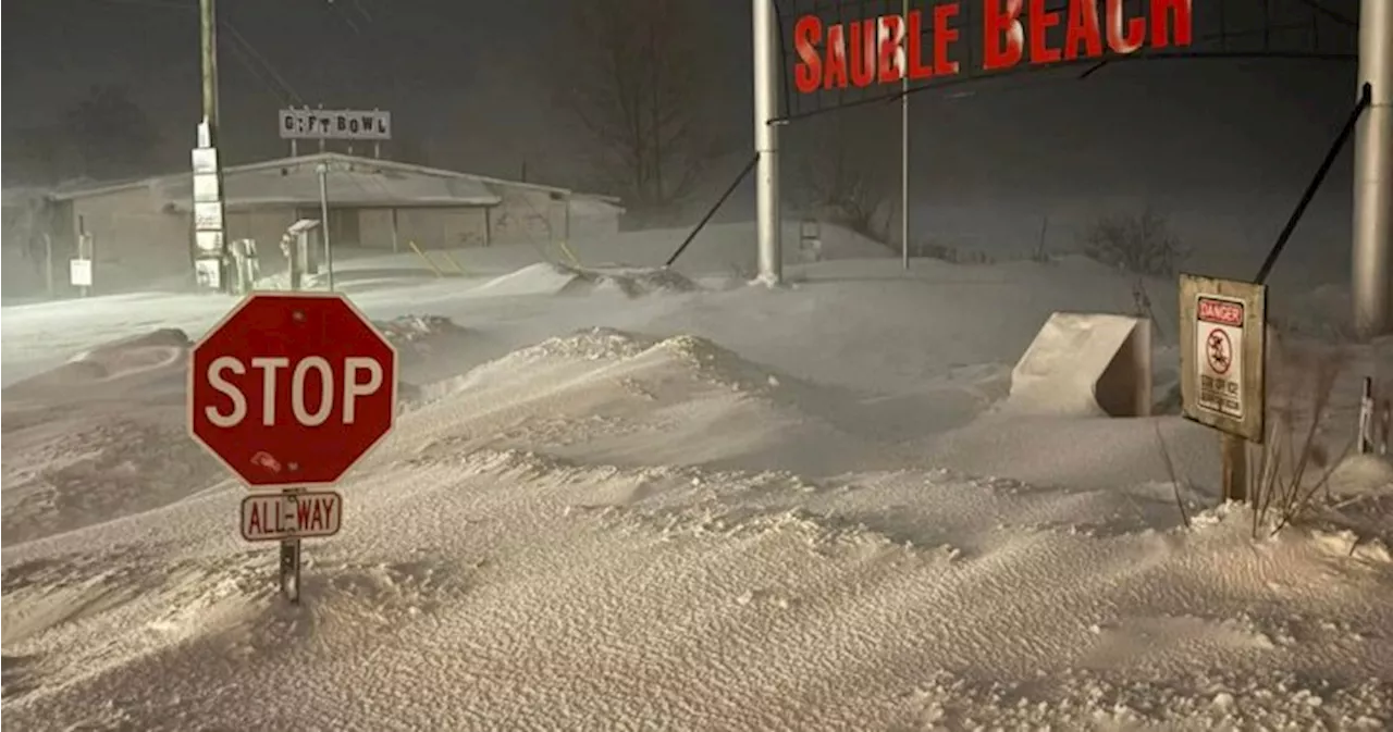
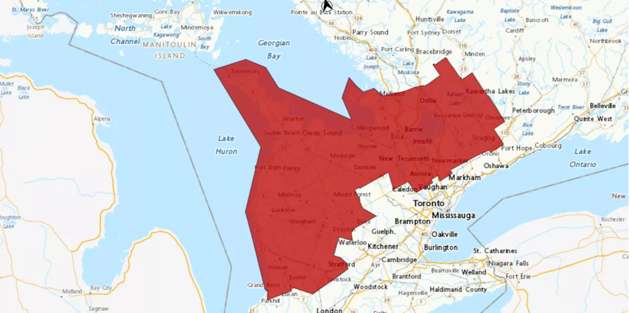
A sharp contrast in temperature causes air pockets to rapidly ascend into the atmosphere. This rapid ascent creates a charge imbalance within the updraft of the cloud. To restore balance, a lightning strike occurs. While some parts of the province witnessed lightning, other areas were inundated with heavy snowfall. Lisa Chadwick, owner of the Beachside Patio Bar & Bakery in Sauble Beach, told Global News that her area received a significant 30 cm of snow over a 24-hour period. She shared a photo on social media showcasing the well-known Sauble Beach sign, where snowdrifts reached up to a nearby stop sign. As many Ontarians spent Tuesday morning clearing snow, more winter weather was on the horizon. Hull predicted that another clipper system moving in later Tuesday afternoon and evening would bring additional snow to southern Ontario. He estimated around 5 cm of snowfall for the Greater Toronto and Hamilton Area (GTHA), with heavier accumulations east of Georgian Bay and Lake Huron, where lake enhancement effects would be in play
THUNDERSNOW SNOWFALL SOUTHERN ONTARIO WEATHER CLIMATE
Canada Latest News, Canada Headlines
Similar News:You can also read news stories similar to this one that we have collected from other news sources.
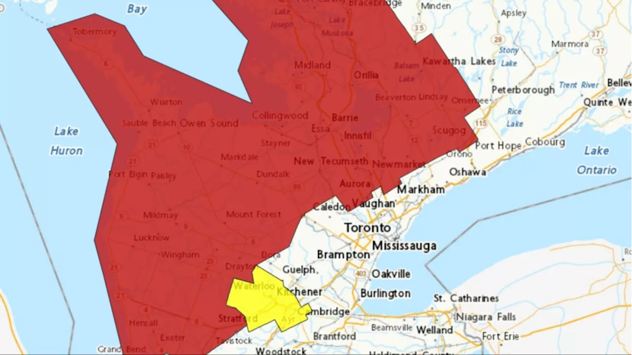
 Heavy Snow Expected to Blanket Southern OntarioEnvironment Canada issues snow squall warnings for southern Ontario, predicting up to 60cm of snow in some areas. Barrie, Orillia, Collingwood, Midland, and Wasaga Beach are most at risk, with heavy snow and strong winds causing poor visibility. Areas east and west of Toronto are also under weather advisories.
Read more »
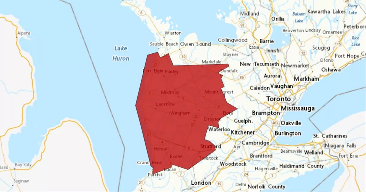
 Snow Squalls Bring Heavy Snow and Reduced Visibility to Southern OntarioEnvironment Canada warns of heavy snow and poor visibility from snow squalls in parts of southern Ontario. The agency predicts an additional 5 to 10 centimeters of snowfall before warnings end Sunday morning. Ontario Provincial Police urge drivers to avoid travel due to slippery conditions and numerous collision reports.
Read more »
 Northern Ontario's Homelessness Crisis Worsening at Four Times the Rate of Southern OntarioA new report, Municipalities Under Pressure, reveals that homelessness in Northern Ontario is growing at an alarming rate, four times faster than in Southern Ontario. The report calls for $11 billion in new funding to end chronic homelessness by 2035, highlighting the urgent need for increased support and resources in the region.
Read more »
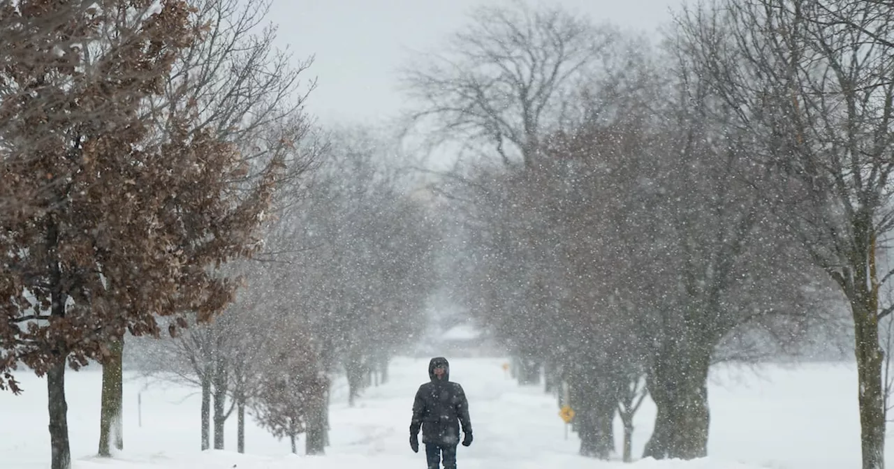
 Parts of southern Ontario could see more than 40 cm of snow by SundayPeople walking down Front Street during the large snowfall on January 25, 2023.
Read more »
 Police respond to multiple collisions as snow squall warnings remain in effect in southern OntarioSnow squall warnings in southern Ontario remain in effect Saturday, with as much 40 centimetres of snow expected to fall for parts of the province this weekend.
Read more »
 Snow Squall Warnings Lifted in Southern OntarioParts of Southern Ontario received an additional 5 to 15 centimeters of snow before Environment Canada lifted snow squall warnings on Sunday. While the warnings ended, the agency cautioned about poor visibility due to heavy snow in areas around Lake Huron and Georgian Bay. Ontario Provincial Police urged drivers to avoid travel on Saturday due to multiple collisions caused by up to 40 centimeters of snow.
Read more »