
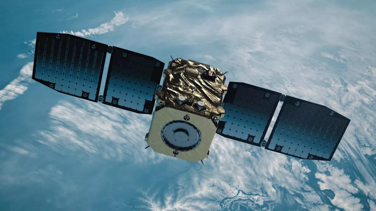
Operated by NASA and the French space agency, the Surface Water and Ocean Topography mission provides a new view of water on land, at the coast, and in the
This image shows SWOT satellite data for water surface height in part of Mendocino County, Northern California, on Jan. 15, before several atmospheric rivers arrived, and on Feb. 4, after the first storms. Light blue and green indicate the highest water levels relative to mean sea level. ocean.
A series of atmospheric rivers drenched California in February, with record amounts of rainfall and hurricane-force winds sweeping across parts of the state. At one point, weather agencies posted flood watches for nearly the entirety of California’s coast. The Surface Water and Ocean Topography mission captured data on some of the flooding near the community of Manchester, roughly 105 miles north of San Francisco. The satellite is a collaboration between NASA and the French space agency, CNES .
The image above shows the area on Jan. 15, before the rain and snow from atmospheric rivers, and then again on Feb. 4, after the first in a series of storms soaked California. Water heights are shown in shades of green and blue, with lighter hues indicating the highest levels relative to mean sea level. Some coastal areas were flooded by both ocean tides and heavy rain, while others were likely flooded only by precipitation.
“SWOT gives us information about flooding that we’ve never had before,” said Ben Hamlington, lead researcher for NASA’s sea level change team at the agency’s Jet Propulsion Laboratory in Southern California. Satellites can provide pictures showing how much of an area is flooded, but unless instruments are already installed on a river or at the coast, it’s difficult to know how conditions evolve during and after a flood.
SWOT was jointly developed by NASA and CNES, with contributions from the Canadian Space Agency and the UK Space Agency. NASA’s Jet Propulsion Laboratory, which is managed for the agency by Caltech in Pasadena, California, leads the U.S. component of the project. For the flight system payload, NASA provided the KaRIn instrument, a GPS science receiver, a laser retroreflector, a two-beam microwave radiometer, and NASA instrument operations.
Canada Latest News, Canada Headlines
Similar News:You can also read news stories similar to this one that we have collected from other news sources.
 Concern about Russia wanting to put anti-satellite nuke in space raises key questionsRussia and the U.S. have used missiles to destroy their own satellites before.
Read more »
 A satellite designed to inspect space junk just made it to orbitCheyenne is Engadget’s weekend editor and covers a little bit of everything. She’s particularly interested in emerging technology and niche gadgets, climate change, space, privacy, and internet culture. She’ll talk your ear off about Tamagotchis if you get her started.
Read more »
 Astroscale's Satellite is Now Chasing Down a Real Piece of Space DebrisSpace and astronomy news
Read more »
 Russia's space weapon: Anti-satellite systems are indiscriminate, posing a risk to everyone's spacecraftIn a week where national security has taken center stage in Washington, the White House confirmed on Thursday that it had evidence that Russia was developing a space-based nuclear anti satellite weapon.
Read more »
 Elon Musk’s SpaceX Makes First X Post From Starlink Satellite In SpaceI am a senior reporter for the Forbes breaking news team, covering health and science from the London office. Previously I worked as a reporter for a trade publication covering big data and law and as a freelance journalist and policy analyst covering science, tech and health.
Read more »
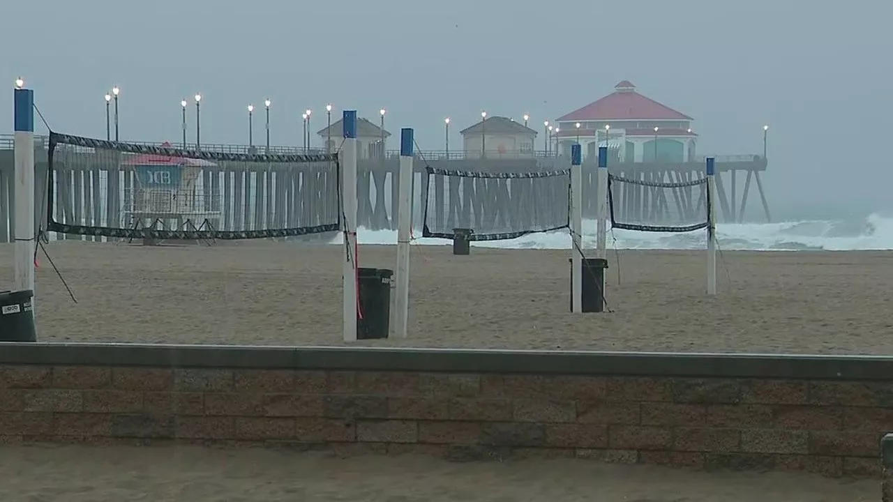 Rain in California: Coastal flood advisory in effect as SoCal braces for days of rainMore rain comes to Southern California this weekend. Forecasters predict there'll be a lot less rainfall, but are concerned about flooding.
Read more »