I wish I could say today was going to be a gorgeous day across NL but I cannot.
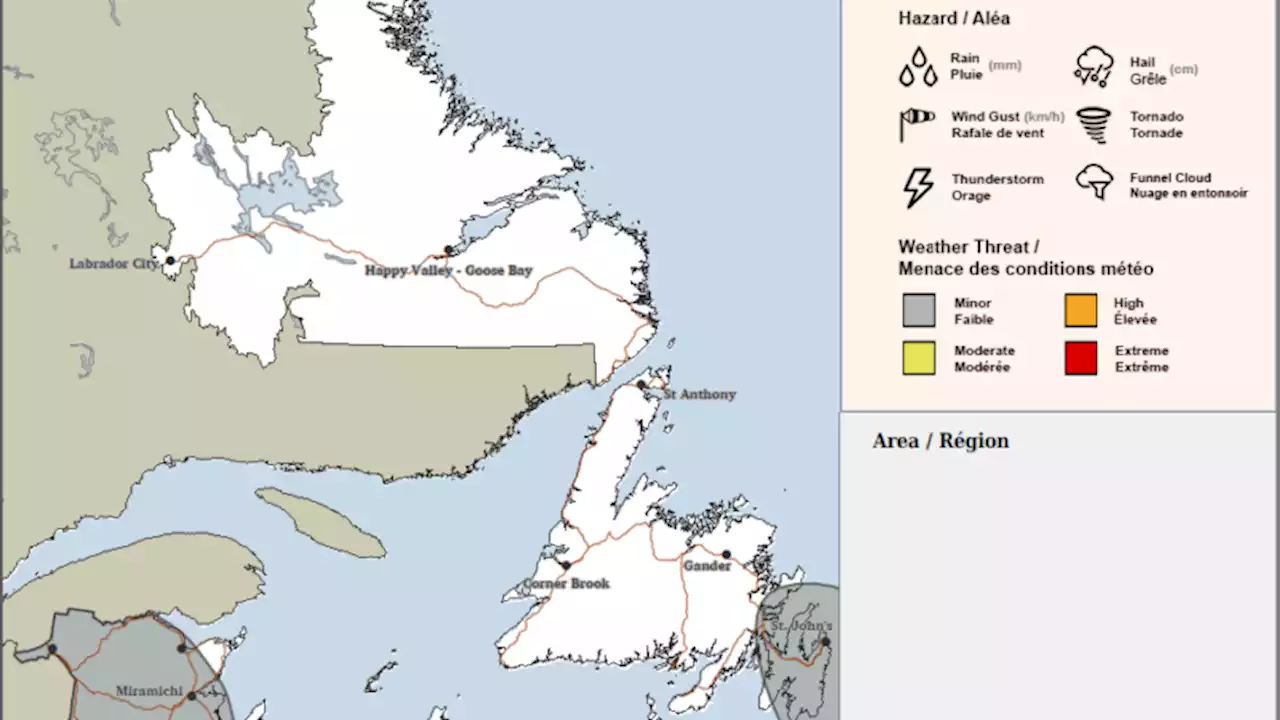
An area of low pressure to our south and another to the north and high over Labrdoar are all joining forces to send another round of north and northeast flow into the region. This means clouds, fog, and drizzle are all the forecast staples for eastern and central Newfoundland today and on the GNP. The West Coast and southern areas will see less fog and drizzle, but still an abundance of clouds.
Also, the fog is quite dense on parts of the Avalon this morning, including in St. John’s. It’s to the point where inbound flights may be impacted if the visibility doesn’t increase. Outbound flights, with aircraft already here, should be ok. This is the view from the St. John’s Airport Webcam at 7:01 AM this morning.
Temperatures will range from the upper single digits in the north to the mid-teens in the south and southwest. Perhaps some southern areas will see some sunshine today. Labrador will see a dry day, with the sun trying to break through in the afternoon. Highs will range from 8 to 16, with the coolest highs being found on the coast and the warmest in the west.
The weather to start the week doesn’t look much better. In fact, there will be rain from tomorrow into Tuesday across much of the Island. There are some signs of our first 20-degree day happening at St. John’s during the mid part of the upcoming week… stay tuned for details on that one!
Canada Latest News, Canada Headlines
Similar News:You can also read news stories similar to this one that we have collected from other news sources.
 Friday’s forecast; showers and some thunderstorms in the cards
Read more »
 Forecast calls for a lovely weekendHighs in the mid 20s and mostly sunny
Read more »
 Hints of improvement in smoke conditions Saturday; heavy showers, possible T-storms in forecastHints of improvement in smog conditions Saturday, heavy showers, possible T-storms in forecast
Read more »
 Smog conditions could improve Saturday with heavy showers, possible T-storms in forecastOttawa and Gatineau may be getting out of the smog belt, at least temporarily
Read more »
 ICYMI: The El Niño Ontario effect: How it could alter this summer's weather forecastForecasters say there is a 62% chance El Niño will develop sometime between May and July. This comes after nearly two continuous years of a La Niña.
Read more »
 Air quality warnings cancelled, heavy showers, possible T-storms in forecastOttawa and Gatineau may be getting out of the smog belt, at least temporarily
Read more »
