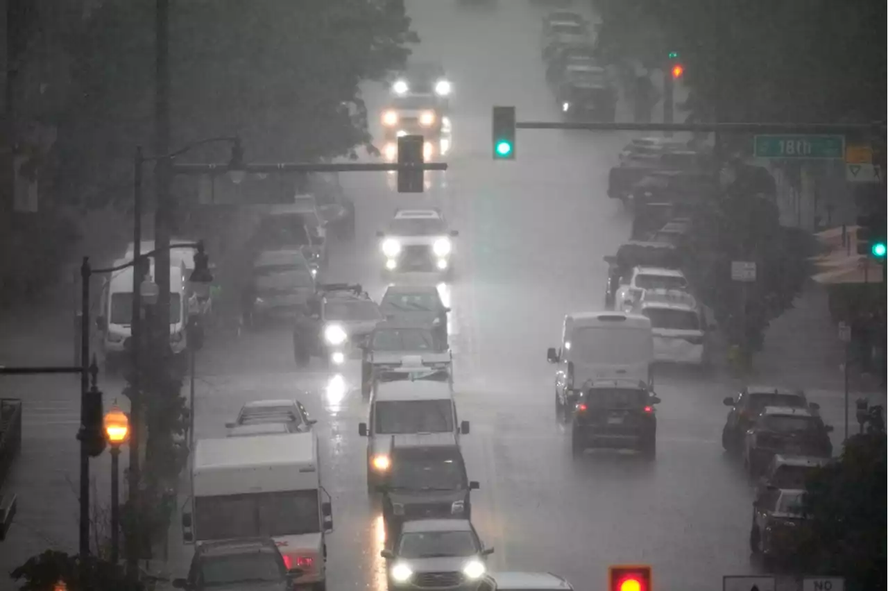
Today’s main line of storms is moving east toward the D.C. area this afternoon. It will affect western areas earliest, while east of town may see impacts later — perhaps closer to 8 p.m.
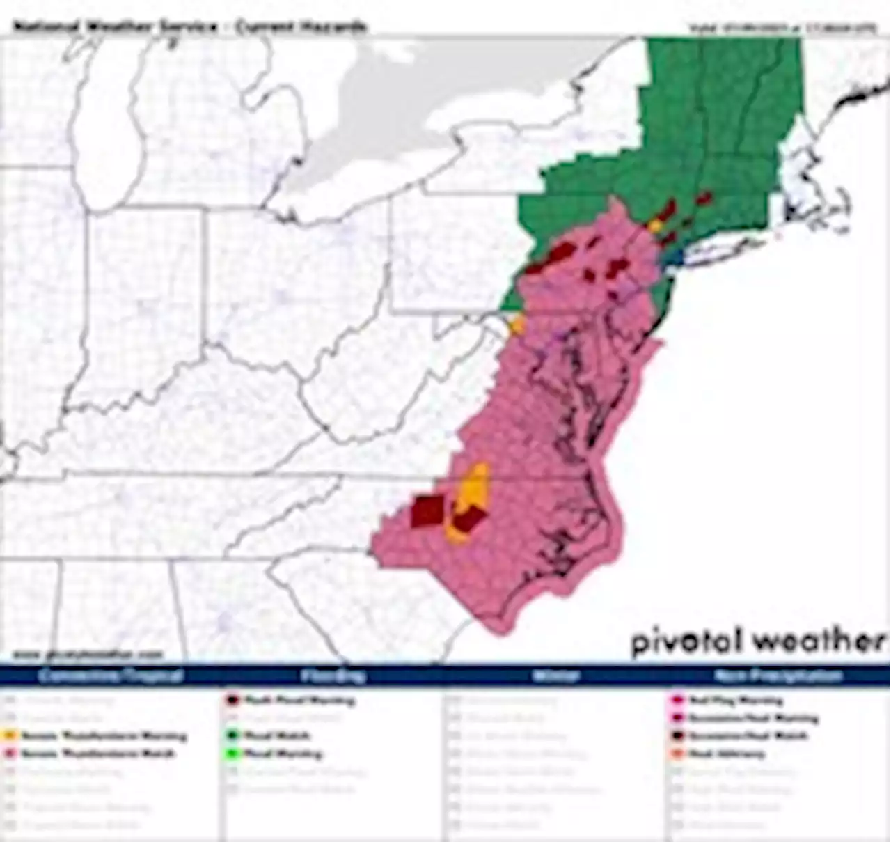
A severe thunderstorm watch is in effect until 8 p.m., adding to the watches already hoisted north and south of the core D.C. area. The potential for wind damage from any severe storms should wane after 7 p.m. south and east of town — but the threat of flooding downpours won’t diminish until after 10 p.m.
Here’s a county-by-county estimate for the timing of the main line of storms, which may possess wind in addition to downpours:2-5 p.m.: Carroll, Fairfax, Frederick, Howard, Montgomery, Prince William, Stafford4-8 p.m.: Anne Arundel, Calvert, St. Mary’s The biggest threat into tonight is flooding from thunderstorm downpours, pegged at over a 40 percent chance, highlighted below in the red-orange “moderate” shading.
After the primary flooding threat from these storms this afternoon and evening, damaging wind gusts are the next-most-likely threat. See the area highlighted yellow in the bottom-right panel of the maps below. This indicates at least a 15 percent chance of damaging wind. In the upper-left panel, the areas shaded yellow have a 40 percent chance of seeing severe storms today.
Remember: Turn around — don’t drown! Never approach or try to travel through a flooded area. We’ll talk more about this tonight in our weekly Sunday Sunset Live Q&A chat. Tune in at 8:36 p.m.
Canada Latest News, Canada Headlines
Similar News:You can also read news stories similar to this one that we have collected from other news sources.
 Denver weather: Severe storm to include golf-ball-sized hail, damaging wind and tornadoesThe National Weather Service forecast calls for severe weather, starting around 1 p.m. and lasting until 10 p.m with the most intense risk between 3 p.m. and 6 p.m., said meteorologist Russell Dani…
Read more »
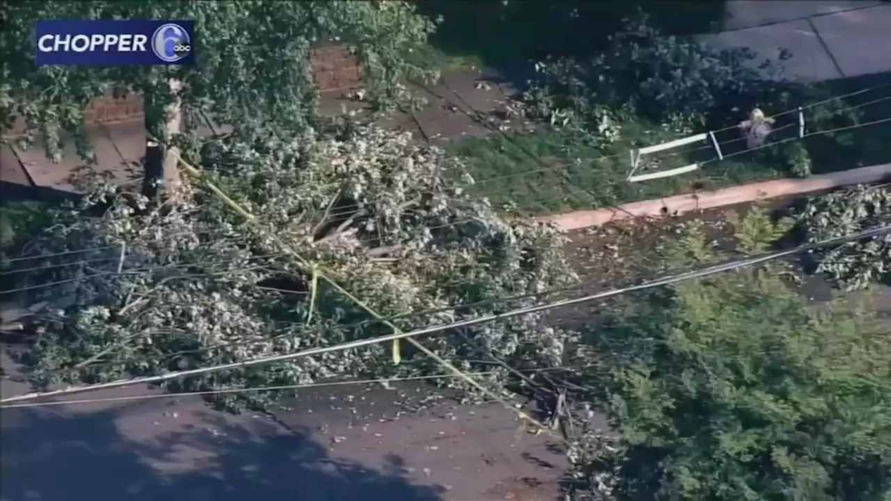 Camden County faces weekend flood watch days after severe storm sweeps through area6abc meteorologists say Camden and parts of Burlington counties are under a flood watch for Sunday.
Read more »
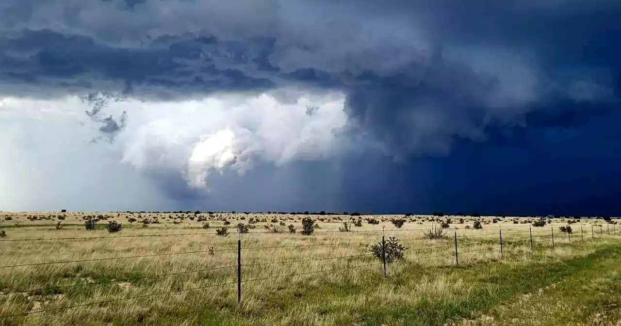 Severe storms possible across Front Range, plains Saturday afternoon; watch in effectAnother round of strong thunderstorms will likely develop over eastern Colorado through Friday night. Large hail, locally heavy rain, and isolated tornadoes will be the main concerns.
Read more »
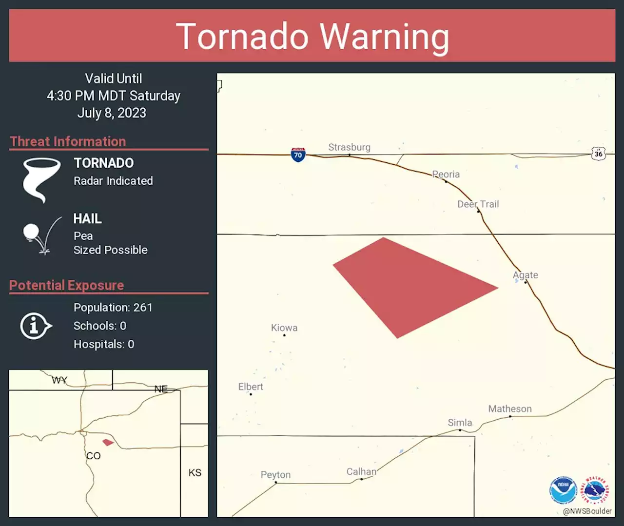 Severe storms move across Front Range, plains Saturday afternoon; watch in effectA tornado Warning was issued for north central Elbert County until 4:30 p.m. A severe thunderstorm capable of producing a tornado was located 13 miles south of Byers
Read more »
Severe thunderstorm watch in effect for Denver, Front Range and Eastern PlainsA tornado Warning was issued for north central Elbert County until 4:30 p.m. A severe thunderstorm capable of producing a tornado was located 13 miles south of Byers
Read more »